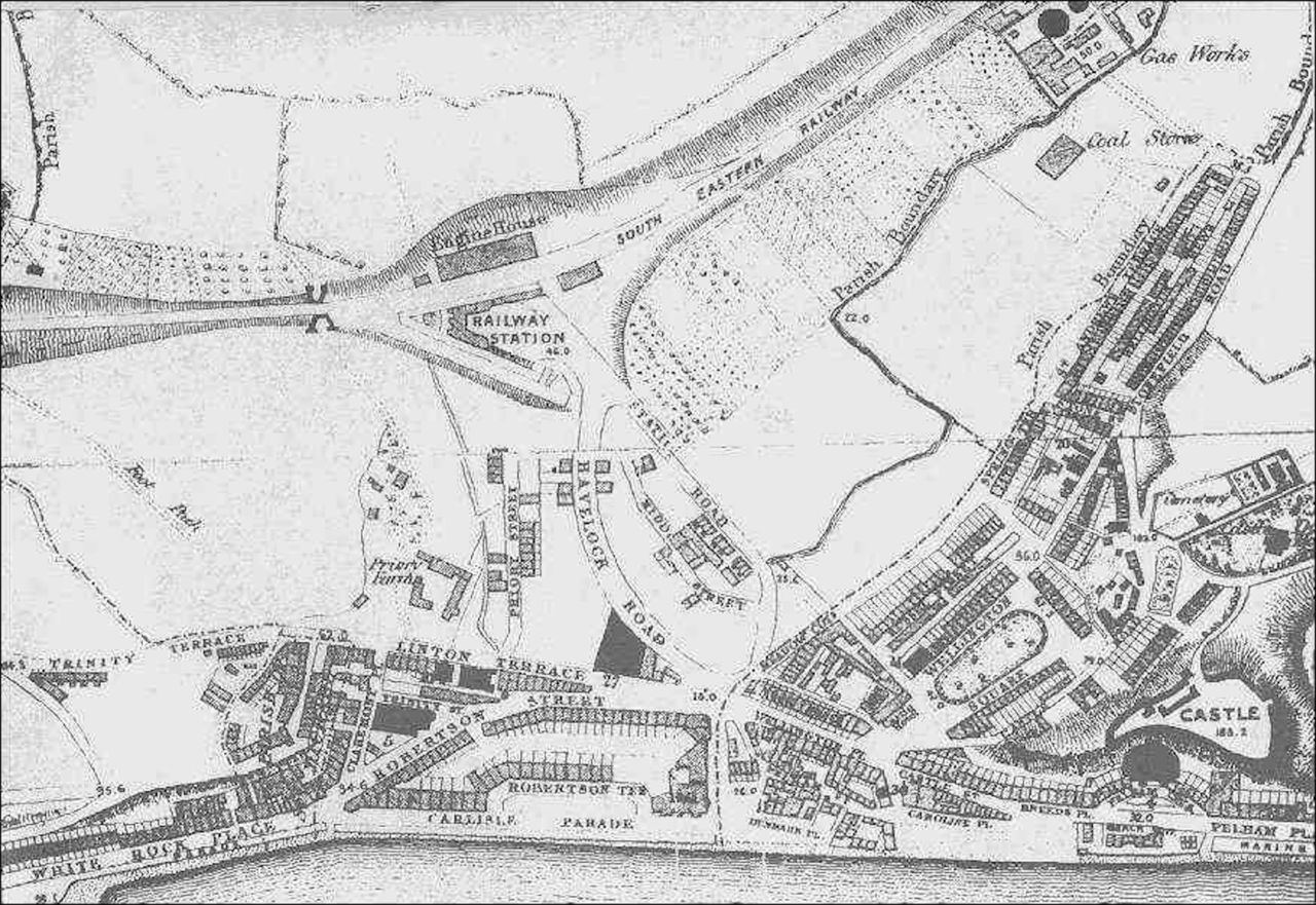
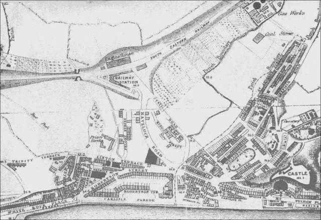
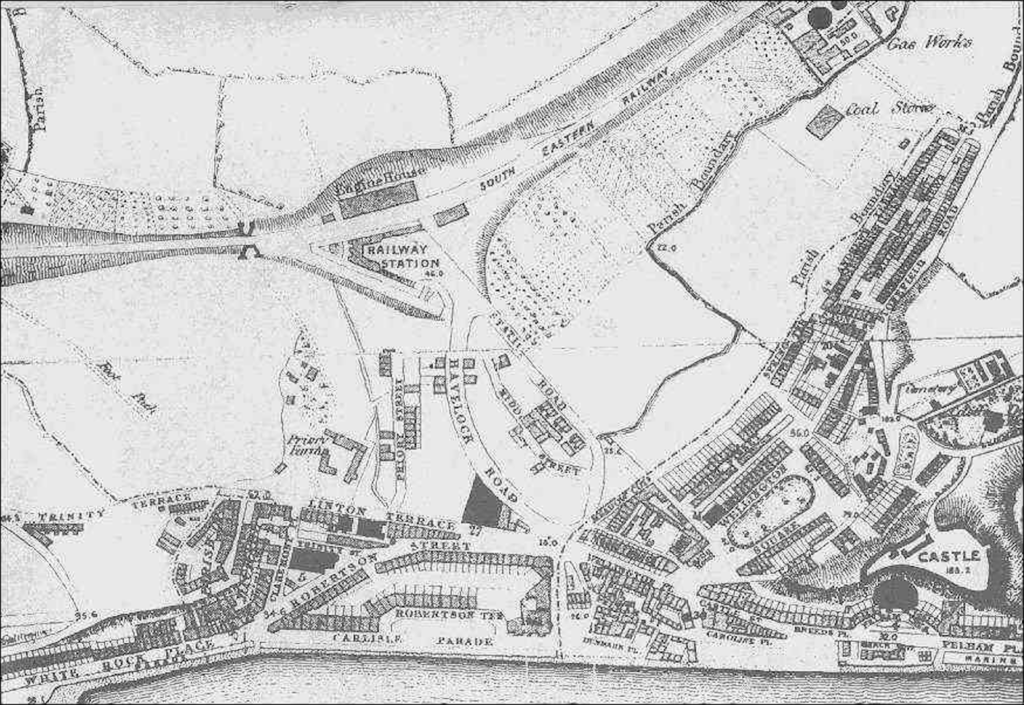
File:1859 Town Centre Map.png
From Historical Hastings

Size of this preview: 1,280 × 881 pixels. Other resolutions: 320 × 220 pixels | 640 × 440 pixels | 800 × 550 pixels | 1,024 × 705 pixels | 1,750 × 1,204 pixels.
Original file (1,750 × 1,204 pixels, file size: 2.03 MB, MIME type: image/png)
1859 Map showing roads in the new town centre.
File history
Click on a date/time to view the file as it appeared at that time.
| Date/Time | Thumbnail | Dimensions | User | Comment | |
|---|---|---|---|---|---|
| current | 19:19, 1 July 2020 | | 1,750 × 1,204 (2.03 MB) | Royp (talk | contribs) |
You cannot overwrite this file.
File usage
The following page links to this file: