File:Hole farm.png
From Historical Hastings

Size of this preview: 1,280 × 738 pixels. Other resolutions: 320 × 185 pixels | 640 × 369 pixels | 800 × 462 pixels | 1,024 × 591 pixels | 1,411 × 814 pixels.
Original file (1,411 × 814 pixels, file size: 1.48 MB, MIME type: image/png)
Summary
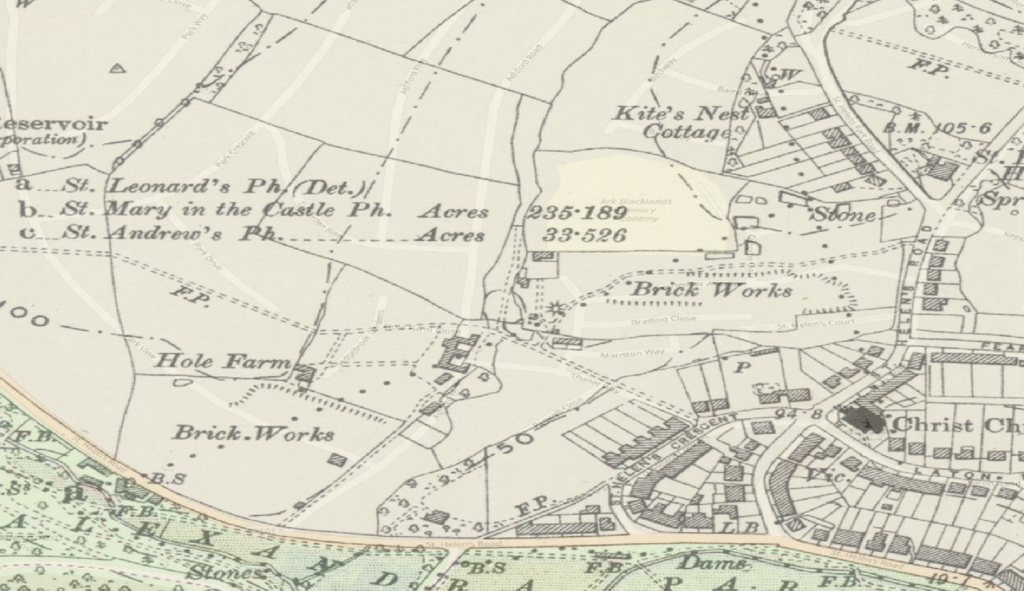
Map circa 1900 showing location of Hole Farm
File history
Click on a date/time to view the file as it appeared at that time.
| Date/Time | Thumbnail | Dimensions | User | Comment | |
|---|---|---|---|---|---|
| current | 21:39, 14 June 2019 | | 1,411 × 814 (1.48 MB) | Royp (talk | contribs) | Overlaid onto current mapping. |
| 21:22, 14 June 2019 |  | 1,411 × 814 (1.48 MB) | Royp (talk | contribs) | Map circa 1900 showing location of {{Visible|Hole Farm}} |
You cannot overwrite this file.
File usage
There are no pages that use this file.