File:1928 map of The Ridge, showing some of the larger properties.png
From Historical Hastings

Size of this preview: 1,280 × 623 pixels. Other resolutions: 320 × 156 pixels | 640 × 312 pixels | 800 × 390 pixels | 1,464 × 713 pixels.
Original file (1,464 × 713 pixels, file size: 1.78 MB, MIME type: image/png)
Summary
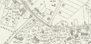
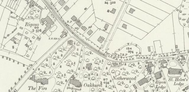
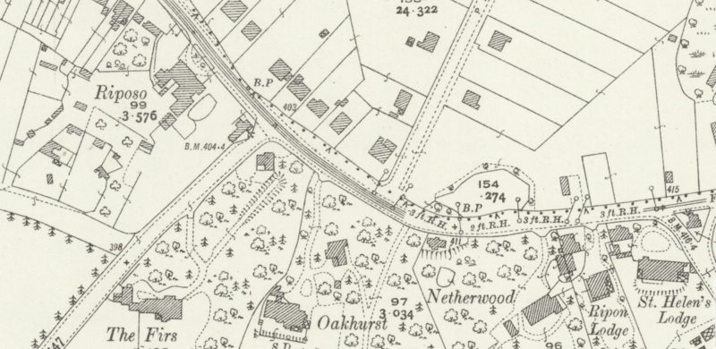
Riposo, The Firs Oakhurst Netherwood Ripon Lodge St Helens Lodge The Ridge Circa 1928
Source
National Library of Scotland Sussex LVIII.10 (Hastings; Ore)
File history
Click on a date/time to view the file as it appeared at that time.
| Date/Time | Thumbnail | Dimensions | User | Comment | |
|---|---|---|---|---|---|
| current | 16:28, 5 May 2020 | | 1,464 × 713 (1.78 MB) | Royp (talk | contribs) | {{Visible|Riposo}}, {{Visible|The Firs}} {{Visible|Oakhurst}} {{Visible|Netherwood}} {{Visible|Ripon Lodge}} {{Visible|St Helens Lodge}} {{Visible|The Ridge}} {{Circa|1928}} |
You cannot overwrite this file.
File usage
The following 4 pages link to this file: